Management Team

Dr. Ghada El Serafy is the current Director of the GEO AquaWatch water quality Initiative. She is an expert on the use of earth observation in data sciences in ecosystem modelling and services. She is actively involved in the strategic research and developments within Deltares. She has a broad experience in the use of remote sensing, the concept of essential variables framework, uncertainty analysis, sensitivity analysis and assimilation related to marine environmental quality and ecosystem health as well as integrated monitoring and assessment methods. She supervises several doctoral degrees and master of Science students. She leads several national and international projects in data assimilation applications in different fields such Hydraulics, Hydrology, Coastal Engineering and Ecology. She leads several national and international projects in the use of remote sensing and setting up data services and participating in others dealing with ecosystem modelling and ecosystem services and the use of Earth Observation.
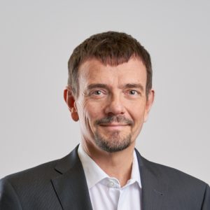
Dr. Carsten Brockmann is managing director of Brockmann Consult, Germany. He founded his company in 1999 which provides consultancy, information products and software connected to environmental data. Carsten is consulting national and international customers working with Earth Observation data on instrument aspects, processing algorithms and applications. A special focus of his work is on developing and applying EO data for retrieval water quality in coastal and inland waters, radiative transfer in the optical domain, as well as the software and data processing aspects associated with this.
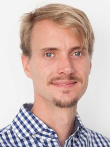
Philipp Saille is a Scientific officer at the International Centre for Water Resources and Global Change (UNESCO) based at the Federal Institute of Hydrology in Koblenz, Germany. Philipp is responsible for coordination of the GEMS/Water Data Centre in support of the UN Environment GEMS/Water Programme. He also leads acquisition of water quality monitoring data from national and collaborating partners of the GEMS/Water Global Monitoring Network. Supporting and consulting GEMS/Water partners in the fields of water quality data management, data exchange and data products is another aspect of his work. He also represents GEMS/Water in international committees and working groups.
Megan Coffer, Global Science & Technology
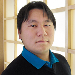
Igor Ogashawara research uses remote sensing techniques to monitor water quality, especially from inland aquatic systems. He is currently the director of the new GEO Aquawatch Cal/Val Thematic Node based at IGB-Berlin and a postdoctoral researcher at the Leibniz Institute of Freshwater Ecology and Inland Fisheries (IGB) working on developing new algorithms and satellite imagery processing data scheme to support the water quality management in Northern German Lakes within the Leibniz Association funded CONNECT Project. Additionally, he is IGB’s leader within the EU H2020 Project “Water scenarios For Copernicus Exploitation” (Water-ForCE) which will develop a Roadmap for Copernicus water services (waterforce.eu). He is also a co-editor for the book “Remote Sensing and Bio-optical Modeling for Inland Waters”. In November 2023, Igor won the GEO Emerging Leaders Award a new award from the GEO Secretariat inaugurally bestowed at the GEOWEEK meeting in Capetown, South Africa.
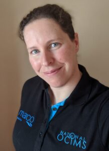
Dr. Marié Smith has a PhD in Physical Oceanography from the University of Cape Town, and has been specializing in marine remote sensing for 15 years. She is a senior researcher in the Coastal Systems and Earth Observation Research group at the Council for Scientific and Industrial Research (CSIR) of South Africa. Her interests lie in optical water type classification and algorithm development, and harnessing satellite earth observation data for coastal marine applications such as harmful algal bloom detection, aquaculture, fisheries and water quality decision support around Africa. She is leading the CSIR contribution within the Horizon 2020 All Atlantic Ocean Sustainable, Profitable and Resilient Aquaculture (ASTRAL) project, supporting technology development and validation at aquaculture operations around the Atlantic. She is the principal investigator of the SANSA/NRF New Earth Observation Frontiers Development of new high resolution water quality observation capabilities for coastal and estuarine systems (EO4WQ) project, and is actively involved in post-graduate student supervision and training across Africa.
Dr. Jianwei Wei, GST – Photo and Bio coming soon!
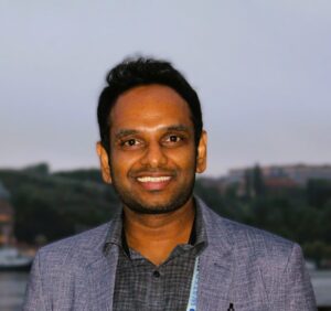
Dr. Mahesh Jampani is a Researcher at the International Water Management Institute (IWMI-CGIAR). He holds a Joint PhD in Integrated Management of Water, Soil, and Waste from the United Nations University (UNU) and the Dresden University of Technology (TU Dresden). He has over 16 years of research and development experience, and his work focuses on water quality, modeling, remote sensing, hydrology, climate change, and planetary health. He has (co-)authored over 30 peer-reviewed articles and also served as a peer reviewer for a variety of research/project proposals, concept notes, reports, and scientific journals.
Dr. Kate Fickas, ESRI – Photo and Bio coming soon!
Currently at PML I am working on three European Space Agency (ESA) funded projects relating to Earth Observation (EO) and waterborne diseases. Additionally, my research interests are also in understanding the impact of coastal land reclamation (such as in China), and its implication on the broader concept of climate change adaptation and urban resilience in the SE Asian coasts.
Broadly, I am interested in combining serval elements of coastal zone management into Marine Spatial Planning (MSP) and policy, especially using EO and integrated GIS tools. I have experience in using both optical and radar remote sensing techniques to map long term changes at the coast including landuse, land subsidence, vegetation, surface water etc.
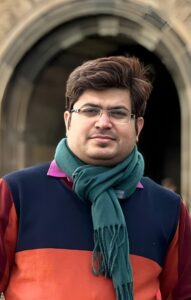
Dr. Subhajit Bandopadhyay is, remote sensing scientist in the field of hyperspectral remote sensing for water quality, vegetation and environmental management practices, particularly working on the water and vegetation spectroscopy, water quality monitoring and algorithm development. His work has been focused on disentangling and analyzing optical and hyperspectral spectra to better understand the water quality for efficient water management practices. He is also using state-of-the-art machine learning and deep learning (ML/DL) algorithms in optical and hyperspectral remote sensing applications.
Dr. Bandopadhyay’s academic journey is exemplified as an Assistant Professor at the Rashtriya Raksha University (Indian central university and an Institute of National Importance), India. He tenured as a postdoctoral research fellow at the prestigious remote sensing lab at the University of Southampton, UK. Previously he was a visiting researcher at the Institute of Remote Sensing at the German Aerospace Centre (DLR) in Berlin, Germany. Dr. Bandopadhyay did his PhD from the prestigious RSL Lab at the University of Zurich, Switzerland, and the Laboratory of Bioclimatology at the Poznan University of Life Sciences, Poland. During his PhD, Dr. Bandopadhyay actively engaged with the European Space Agency’s upcoming FLEX satellite mission. Actively contributing to the academic and research community, he is also currently engaged as a visiting faculty at the Indian Institute of Information Technology (IIIT)-Vadodara. India. The excellence of Dr. Bandopadhyay’s research is underscored by a portfolio of high-impact publications, with a primary focus on remote sensing science and applications. His significant contributions have been featured at prestigious platforms like the European Geoscience Union (EGU), the Living Planet Symposium, the UK National Earth Observation Conference, RSPSoc Wavelength Conference. His work on the cloud computation approach for Amazonian deforestation was covered by NatureVolve (a science communication magazine in the UK) and the national conservation news of Peru. Dr. Bandyopadhyay has been awarded various international awards and was recognized as a prestigious NAWA Iwanowska fellow by the Ministry of Science and Higher Education, Government of Poland.
Beyond his research and editorial pursuits, Dr. Bandopadhyay is renowned for his exceptional ability to cultivate and sustain fruitful collaborations with researchers and scientists globally. This skill has significantly broadened the reach and impact of his work, solidifying his standing as a key figure in the field.
Dr. Evangelos ‘Vagelis’ Spyrakos, University of Stirling – Photo and Bio coming soon!
SPONSORS
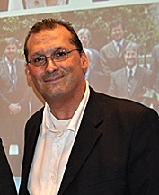
Dr. Paul M. DiGiacomo is Principal Scientist in the NOAA/NESDIS Center for Satellite Applications and Research (STAR). Paul is a biological oceanographer, with expertise in water quality assessments, coastal marine ecosystem dynamics and remote sensing of ocean, coastal, and inland waters. He has a B.S. from Penn State University and a Ph.D. from UCLA, both in Biology, and subsequently was a National Research Council (NRC) Resident Research Associate at JPL.
Paul has been involved with GEO AquaWatch since its inception in 2008. He is active in a number of inter/national working groups and panels, presently serving as Co-Chair of the Group on Earth Observation (GEO) Blue Planet Initiative, Co-Lead of the Committee on Earth Observation Satellite (CEOS) Coastal Observation & Application Study Team: COAST, a funder of the OceanPredict Advisory Board, and Lead for NOAA’s JPSS Ocean Environmental Data Records Team. In 2019, Paul was a recipient of the Group on Earth Observations (GEO) Individual Excellence Award for his leadership.
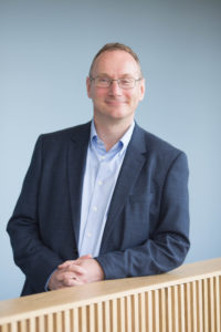
Professor Andrew Tyler is Scotland’s HydroNation Chair, the academic Director for Scotland’s International Environment Centre, and Deputy Dean in the Faculty of Natural Sciences at the University of Stirling, UK. He specialises in environmental monitoring from in-situ to Earth Observation (EO) for the quantitative assessment and impact of environmental pollutants in aquatic and terrestrial environments. He leads the Earth Observation research group at Stirling, which specialises in the use of airborne and satellite data for the assessment and monitoring of ecosystem responses to environmental change with particular specialisations in monitoring of aquatic environments. Andrew led the €3M NERC-funded GloboLakes project (www.globolakes.ac.uk) (NE/J024279/1), which developed an operational satellite-based system for lake monitoring globally. The Stirling Team also lead the NERC INCIS-3IVE project on in-situ radiometry sensors and protocols for satellite validation and were partners on the H2020 EOMORES, CoastObs, MONOCLE,ENVRI-FAIR and DANUBIUS projects that focus on the remote sensing of inland, transitional and coastal waters. UStirling leads the UK Lakes Project. Andrew has been involved with GEO AquaWatch since its inception in 2008, and previously served on the Management Team and led the Outreach and Education Working Group.
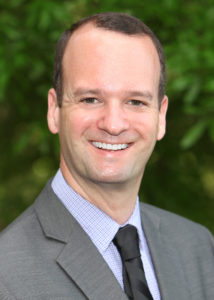
EPA research scientist Blake Schaeffer develops satellite remote sensing technologies to monitor water quality in coastal oceans, estuaries, and lakes. His current work is related to cyanobacterial harmful algal blooms, estuarine seagrass, and surface oil slicks. Blake works in the EPA’s National Exposure Research Laboratory. Blake develops satellite technology and methods to derive water quality products especially in coastal, estuarine, and inland waters. Satellite observations in optically complex and shallow coastal waters have been challenging environments for remote sensing applications. The development of applications which meet end-user needs for water quality monitoring and assessment is his goal. His other research interests include the use of field-based optical instruments and satellite remote sensing data to study ecosystem exposures, dynamics and responses. Blake has been involved with GEO AquaWatch since 2015, serving on the Management Team and co-chairing the Data Working Group.
Past Members:
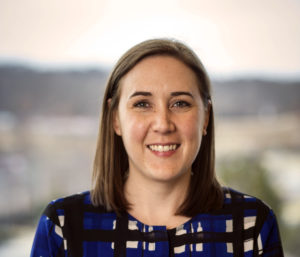
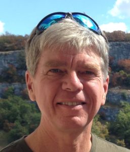
Steve Greb, University of Wisconsin-Madison (GEO AquaWatch Director 2018-22)
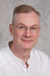
Steve Groom, Ph.D. Plymouth Marine Laboratory, UK
